Bootstrap Themes

Severe Weather Center

Our Goal is to be able to provide you with the most up to date information for Weather that is happening in the United States. There are several government agencies that provide information for severe weather outlooks and threat levels and we have gathered them all in one place for you.

Please remember to always have a way to get emegency and weather alerts with you at all times during times of severe weather!


Alert Center


Today's Severe Weather Outlook


Todays Highest Threat Level is HIGH

Current Severe Weather Discussion Issued by the Storm Prediction Center

   SPC AC 271954

   Day 1 Convective Outlook  
   NWS Storm Prediction Center Norman OK
   0254 PM CDT Wed Aug 27 2025

   Valid 272000Z - 281200Z

   ...THERE IS A MARGINAL RISK OF SEVERE THUNDERSTORMS IN PARTS OF THE
   CENTRAL HIGH PLAINS AND THE UPPER MIDWEST...

   ...SUMMARY...
   Isolated strong to severe thunderstorms may occur across parts of
   the central High Plains and Upper Midwest this afternoon and early
   evening.

   ...20Z Update...
   The forecast remains on track with only minor adjustments to the
   general thunderstorm forecast. See the previous discussion for
   additional information.

   ..Wendt.. 08/27/2025

   .PREV DISCUSSION... /ISSUED 1128 AM CDT Wed Aug 27 2025/

   ...Central High Plains...
   Upper ridging should remain suppressed over TX today, with modest
   mid-level westerly flow persisting across the central Plains. Late
   morning visible satellite imagery shows some clearing across eastern
   CO, which should aid in diurnal destabilization this afternoon.
   Gradual low-level moisture return is forecast to continue today
   across the central High Plains, generally along and east of a weak
   lee trough/low where low to mid 60s surface dewpoints are present.
   With scattered to numerous thunderstorms over much of the Southwest
   and southern/central Rockies yesterday, there is not a notable EML
   present over the central High Plains today (reference 12Z observed
   DDC sounding). This should temper the degree of instability that can
   develop through the afternoon to some extent. Even so, around
   500-1500 J/kg of MLCAPE appears plausible with additional diurnal
   heating of the modestly moistened low-level airmass.

   Weak low-level southerly flow will veer to westerly and gradually
   strengthen with height through mid/upper levels, supporting around
   25-40 kt of deep-layer shear. Thunderstorms are expected to develop
   initially along/near the Front Range this afternoon, before
   spreading slowly east-southeastward across eastern CO and parts of
   western KS through the evening. Isolated severe hail may occur with
   the strongest cores/marginal supercell structures, until gradual
   outflow/cold pool amalgamation encourages one or more clusters with
   a greater threat for occasional strong to severe gusts. Based on
   latest observational and short-term guidance trends, the Marginal
   Risk has been expanded to include more of eastern CO and western KS.
   Mainly elevated thunderstorms will likely continue overnight into
   central/eastern KS in a modest low-level warm advection regime.
   However, confidence in a continued hail/wind threat with this
   activity remains low at this time.

   ...Upper Midwest...
   On the western side of a large-scale upper trough over eastern
   Canada and the Atlantic Coast states, modestly enhanced
   northwesterly mid-level flow is forecast to persist through much of
   the period. A weak embedded shortwave trough moving across southern
   MN and vicinity late this morning suggests modest large-scale
   subsidence in its wake. This casts some uncertainty on the possible
   development of isolated to scattered thunderstorms later today
   along/south of a weak surface trough across eastern SD into
   central/southern MN. Even so, most guidance suggests at least
   isolated thunderstorms will form across this region by late
   afternoon/early evening. Cool mid-level temperatures and generally
   long/straight hodographs aloft suggest some threat for severe hail
   with any of the stronger cores that can be sustained. Have therefore
   added a focused Marginal Risk across parts of eastern SD into
   southern MN for this potential.

   CLICK TO GET <a href="/products/outlook/archive/2025/KWNSPTSDY1_202508272000.txt">WUUS01 PTSDY1</a> PRODUCT

   NOTE: THE NEXT DAY 1 OUTLOOK IS SCHEDULED BY 0100Z
<script type="text/javascript" src="/misc/utctime.js"></script>


View the SPC's Day 1 Outlook

Go to our Safety Center for information about Severe Weather Safety

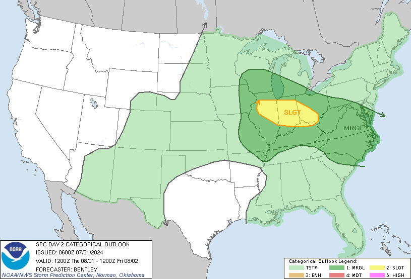
Today's Convective Outlook
...
Today's Tornado Outlook
...


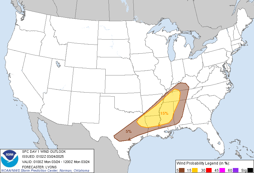
Today's Wind Outlook
...
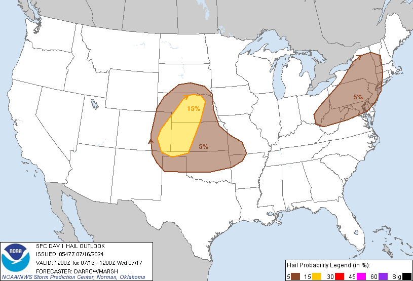
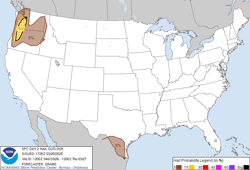
Today's Hail Outlook
...

Todays Flash Flooding Outlook


Todays Highest Flash Flood Threat Level is MODERATE

Current Excessive Rainfall Discussion Issued by the Weather Prediction Center

Excessive Rainfall Discussion
NWS Weather Prediction Center College Park MD
358 PM EDT Wed Aug 27 2025
Day 1
Valid 16Z Wed Aug 27 2025 - 12Z Thu Aug 28 2025

...THERE IS A MODERATE RISK OF EXCESSIVE RAINFALL OVER SOUTHEAST
KANSAS, FAR SOUTHWEST MISSOURI, AND FAR NORTHEAST OKLAHOMA...

16Z Update: A Moderate Risk of Excessive Rainfall was introduced
this forecast cycle for southeastern KS towards the very edges of
both southwest MO and northeast OK. Higher end SLGT risk is
forecast for the Upper Snake River across eastern ID into far
southwest MT. More on these setups below...

...Central Plains...

A sheared 500mb vort max exiting the Central Rockies will spawn a
surface low over the southern High Plains today. Working in tandem
with a dome of high pressure to the east, this will tighten the
pressure gradient and prompt a strengthening LLJ to form over the
Southern Plains late Wednesday afternoon and into Wednesday night.
This enhanced LLJ will not only act to deliver rich Gulf moisture
northward, but it will also cause 850mb frontogenesis to ensue over
the Central Plains. PWATs will surge to 1.8-2.0" across much of
southeastern KS into the adjacent borders of MO/OK between the
00-12z time frame. With MUCAPE ranging between 500-1,000 J/kg and
the incoming anomalous moisture advection regime, these parameters
would support up to 2"/hr rainfall rates with some intra-hour
encroaching 3" within storms that develop more prolific meso-
cyclones. This is due to vertical wind profiles that sport 30-40
knots of sfc-6km shear and sfc-1 km SRH values in excess of 200 m/2
s/2. These vertical wind shear values support mesocyclone
formation, which are efficient rainfall producers within
environments containing deep warm cloud layers and highly saturated
sfc-500mb environments, all of which apply in this situation.

There has been a notable uptick within the 12z HREF prob fields
that brought attention to a growing concern for more locally
significant flash flood and areal flood concerns during the time
frame of interest (00-12z Thu). Neighborhood probabilities for
totals rainfall >3" are now above 80% over a large area
encompassing much of southeast KS, including near the Salina and
Wichita urban corridors. There's even a bullseye of 90+% location
to the northeast of Wichita, a testament to a strong signal for
repeated rainfall in proxy the maximized 850mb FGEN evolution. The
most prominent signal is now incorporated into the higher end
precip accums with the same neighborhood prob field indicating
between 50-70% for >5" within that aforementioned corridor
referenced above, as we as upwards of 25-30% for locally 8+" in the
area from I-35 to the northeast of Wichita down to the MO/AR/OK/KS
intersection. HREF EAS fields are also very robust for even the 2"
(50-80%) and 3" (25-40%) signals, a strong correlation between the
various CAMs input in the hi-res ensemble. Individual deterministic
output indicates some 5-7" totals within each member, but a few
more robust outputs within the ARW/Nam Nest windows indicate
upwards of 9-10" across that area north and east of Wichita. The
metro corridor is right on the edge of the heaviest when assessing
the prob fields, so it will be prudent to monitor near term trends
in guidance and general observations to determine if a higher risk
is necessary for the population center. For now, a MDT risk is now
in place within that region extending from Salina down to the
quad-state border with an inclusion of both far northeast OK and
southwestern MO.

Meanwhile the Slight Risk area in the Central High Plains and along
the Front Range of the Rockies remains in place. Many locations now
sport overly saturated soils, as shown by the NASA SPoRT-LIS 0-40cm
soil percentiles which are above the 90th percentile. PWATs remain
above the 90th climatological percentile and anywhere from
500-1,000 J/kg of MUCAPE will provide sufficient instability to
support up to 1.5"/hr rainfall rates along the Front Range, and
perhaps as high as 2"/hr in the CO High Plains. The Slight Risk
remains in place due to the combination of anomalous moisture and
modest instability triggering storms over areas that feature
sensitive soils.

Mullinax/Kleebauer

...The West...

16Z Update: The previous SLGT risk was relatively unchanged with
the signal still prominent within the latest 12z CAMs suite for
locally heavy rainfall up to 2-3" in spots. 10 year ARI exceedance
probabilities are now 80+% across the Upper Snake River basin that
includes those locations north of PIH towards the ID/MT state line.
Environmental conditions are ripe for locally enhanced rainfall
over those more sensitive locations situated across the area in
question. KBOI sounding this morning was a resounding 1.53",
putting it 5th all time and smashing the daily record by more than
0.3". These elements favor a higher than normal threat for flash
flood concerns leading to a more higher end SLGT risk wording
necessary for areas of the Snake River Basin over into the Sawtooth
Range.

Kleebauer

..Previous Discussion..

There remains no shortage of monsoon moisture throughout much of
the West, but the focus for flash flooding will become more
pronounced in the Northwest. An organized 700mb low will have an
abundance of moisture in place from OR/WA on east into the northern
Rockies. PWATs from the Blue Mountains and Snake River valley on
east across the Bitterroots and into southern MT/western WY are
likely to top the 99.5 climatological percentile and the presence
of the 700mb low will provide additional synoptic-scale support. In
addition, modest instability for the region will be present with
the ECMWF-EFI showing a pronounced signal for unusually high CAPE
(or instability) values across the northern Great Basin, eastern
OR, and much of ID. The same tool (ECMWF-EFI) depicts an impressive
QPF footprint over much of eastern OR, southern ID, northern NV,
and into much of WY. Sufficient instability (500-1,000 J/kg
MUCAPE) is also present for storms to tap into from the northern
Great Basin on north into the Northern Rockies to justify rainfall
rates that approach 1.5"/hr. The Slight Risk remains on track given the
forecast remains largely unchanged, and thus provides additional confidence
in the flash flood potential in the Bitterroots, Tetons, and Snake
River Valley today and into this evening.

Mullinax


Day 1 threat area: <a href="https://www.wpc.ncep.noaa.gov/qpf/94epoints.txt"<u>www.wpc.ncep.noaa.gov/qpf/94epoints.txt</u></a>


View the WPC's Day 1 Excessive Rainfall Outlook

Go to our Safety Center for information about Severe Weather Safety

Today's Excessive Rainfall Outlook
...
Tomorrow's Excessive Rainfall Outlook
...

Tomorrows Severe Weather Outlook


Tomorrows Highest Threat Level is MARGINAL

Tomorrow's Severe Weather Discussion Issued by the Storm Prediction Center

   SPC AC 271704

   Day 2 Convective Outlook  
   NWS Storm Prediction Center Norman OK
   1204 PM CDT Wed Aug 27 2025

   Valid 281200Z - 291200Z

   ...THERE IS A MARGINAL RISK OF SEVERE THUNDERSTORMS ACROSS SOUTHERN
   OKLAHOMA...NORTH TEXAS...SOUTHWEST ARKANSAS...AND NORTHWEST
   LOUISIANA...

   ...SUMMARY...
   Strong thunderstorms, with an isolated severe wind threat, are
   possible across parts of the southern Plains into the Arklatex
   Thursday afternoon and evening.

   ...Southern Plains to the ArkLaTex...

   A convectively enhanced vorticity max/shortwave impulse is expected
   to migrate through northwesterly flow aloft from eastern KS/OK to MS
   on Thursday. An MCS is likely to be ongoing across parts of eastern
   KS/OK at the beginning of the forecast period, and track southeast
   along a stationary boundary/quasi-warm front oriented from eastern
   OK into southern AR. Meanwhile, a weak surface low will be located
   over southwest OK/northwest TX, and a cold front will develop
   southward across the southern High Plains and toward the Red River.
   Outflow from the morning MCS and the cold front may eventually merge
   across eastern OK and the ArkLaTex, and westward near the Red River
   vicinity. Ahead of this boundary, a very most airmass with dewpoints
   in the mid 60s to near 70 F will be in place amid strong heating
   into the 90s.

   Midlevel lapse rates are forecast to remain weak. Nevertheless, rich
   boundary layer moisture will foster MLCAPE values maxing out near
   2000 J/kg. Redevelopment or re-invigoration of the morning MCS may
   occur within this thermodynamic environment, aided by vertically
   veering wind profiles and 25-35 kt effective shear magnitudes. While
   large-scale ascent will be weaker with westward extent as the
   shortwave impulse departs eastward toward the Lower MS Valley, a
   deeply mixed boundary layer is evident in forecast soundings. This
   could support strong downdrafts with any storms developing further
   west along the cold front across southwest OK/north TX. Strong wind
   gusts will be the main hazard with thunderstorm activity Thursday
   afternoon into early evening.

   ..Leitman.. 08/27/2025

   CLICK TO GET <a href="/products/outlook/archive/2025/KWNSPTSDY2_202508271730.txt">WUUS02 PTSDY2</a> PRODUCT

   NOTE: THE NEXT DAY 2 OUTLOOK IS SCHEDULED BY 0600Z
<script type="text/javascript" src="/misc/utctime.js"></script>


View the SPC's Day 2 Outlook

Go to our Safety Center for information about Severe Weather Safety

Tomorrow's Convective Outlook
...
Tomorrow's Tornado Outlook
...
Tomorrow's Wind Outlook
...
Tomorrow's Hail Outlook
...

Copyright 2025 Chris Rhodes Storm Photographer

Warning & Watch Information

Warning and Watch infomation is pulled directly from the National Weather Service. This page does not automatically refresh, please refresh to see a list of up to date warning and watches. For your safety please ensure you always have a way to get weather watches and warnings for your area. Never base important decisions that could result in harm to people or property on this weather information.

Alert Disclaimer and Info
The ticker on this page only displays Tornado Watches and Warnings, Severe Thunderstorm Watches & Warnings, and Flood and Flash Flood Watches and Warnings. Please monitor your local weather sources for other warnings and watches that are issued by the National Weather Service or local officials. Please visit the our Alert Center for a complete list of all watches and warnings.